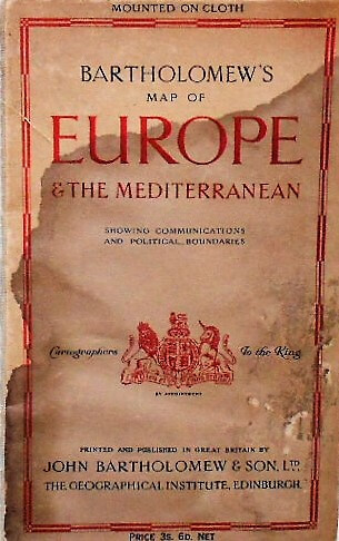
Verkauft. Sold. Bartholomew’s Map of Europe and the Mediterranean 1930 showing communications and political boundaries. Cartographers to the King. Printed and published in Great Britain by John Bartholomew & Son LTD. The Geographical Institute, Edinburgh. Mounted on cloth. 102 x 81 cm. Price : Euro.